Apple Maps has always been a bit of an also-ran when it comes to navigation. It was a bit like a red-headed stepchild compared to Google Maps and Waze. You know it's there, but it never gets attention. And your faithful correspondent is making these comments as an Apple fanboy.
But Apple recently unveiled the latest version of its map feature and walked CNN Underscored through the most critical updates. These are a 3D experience with loads of detail, improved location accuracy, and several features that will make day-to-day life more manageable.
The 3D map is more detailed than any other map available. In addition to showing accurate representations of buildings and roads, Apple also included accurate trees. In short, if you're driving into New York, you'll see the outline of a Red Maple or a Green Ash.
The night view also includes buildings with lights and a few stars. You won't necessarily see it on a smaller device like an iPhone 13, but it works beautifully on a larger device.
Speaking of, you get more features on a larger device like an iPad. The most notable is an exploration feature that allows you to take virtual or guided tours in select cities. This is not something new, however. Google has been offering virtual tours for years now.
Why the insane attention to detail? In addition to having landmarks to help the user navigate, the new 3D map also has accurate lane demarcation and elevation. This feature has been around since the last iOS update, but now it can also be displayed via Apple CarPlay.
"At a glance, drivers can understand a complex intersection more quickly than ever before," said Meg Frost, design lead at Apple Maps. "And that detail helps with that split-second decision of which turn they're going to make. So we want it to be both safer and visually satisfying to navigate."
Apple also went through the trouble of modeling key buildings in cities. Apple asked locals what facilities should be rendered as accurately as possible, and it did so. One example is the Philadelphia Museum of Art, complete with the famous statue of Sly Stallone as Rocky.
"We pick the amount of detail we find appropriate and create a 3D mesh of the building landmark itself. And we apply it to the base map," explained Frost.
There are various other new walking and public transportation features, but we'll skip over those since this is all about cars.
The most useful new feature, in our opinion, is the ability to share your live location and ETA with someone else, using CarPlay or Siri. The receiver of the message can then track your progress.
Apple also says that you don't need to log in to use the feature and that it won't retain any information on your movements or searches.
In any case, smartphone integration is critical in the automotive industry. Research has shown that people are less distracted by Apple CarPlay and Android Auto than most integrated infotainment systems.
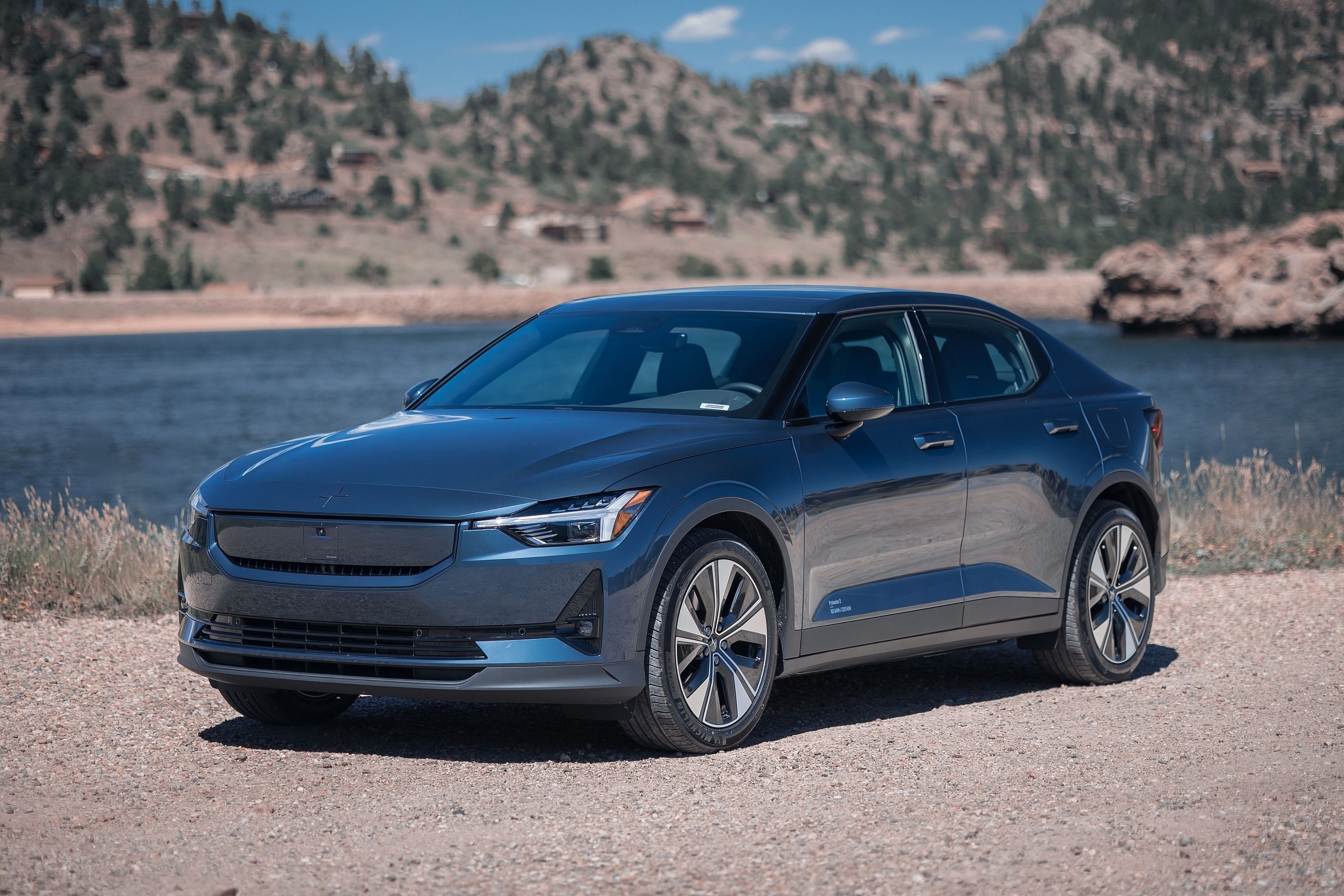
More manufacturers will buy into software explicitly designed for cars in the coming years, like Android Automotive. The Polestar 2 already runs on Google-designed software, and it makes a massive difference in how you interact with the vehicle.
